Navigating the Digital Landscape for Maine’s Climate-Ready Infrastructure
A comprehensive directory of 17 essential online resources for Maine’s land trusts, municipal leaders, and federal agencies
5/2/20262 min read
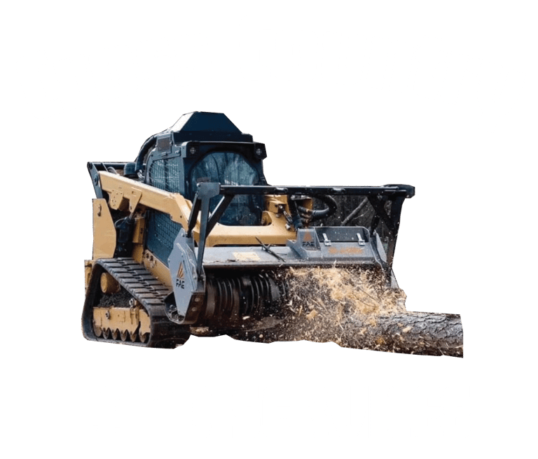
In Maine, successful land management and site development require a precise blend of technical expertise and high-quality data. Whether we are executing mechanical wildfire mitigation with high-production mulchers or restoring aquatic connectivity through resilient stream crossings, our team prioritizes Environmental Stewardship and Compliant Site Execution.
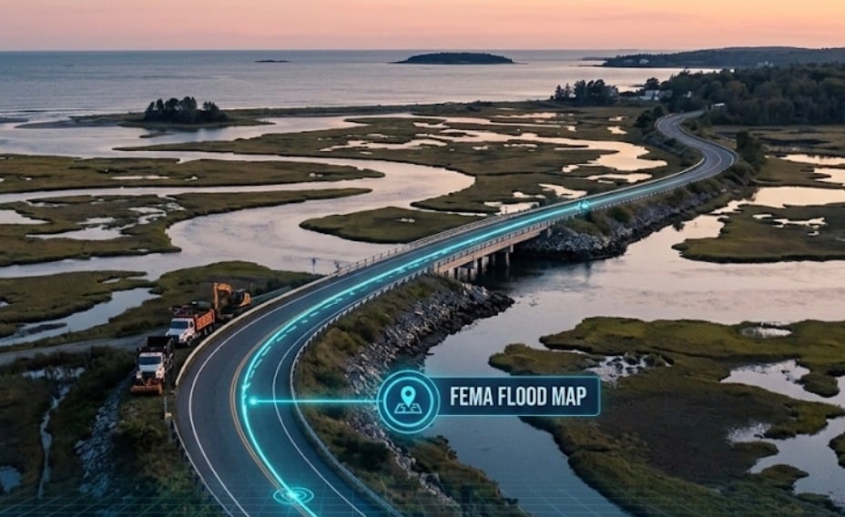
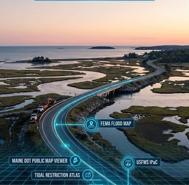
As a Strategic Infrastructure Partner, we understand that high-stakes civil and environmental projects demand more than just heavy machinery; they require deep dives into the spatial data that defines our state's topography and ecology. To support your planning process, we have compiled a comprehensive directory of 17 essential online project planning resources for Maine’s land trusts, municipal leaders, and federal agencies.
To identify potential environmental risks and navigate Maine's complex regulatory landscape, we utilize the following directory of official datasets and mapping tools.
State-Level Infrastructure & Planning
• Maine DOT Public Map Viewer: The primary portal for state-wide infrastructure and transportation mapping.
• Maine DOT Electronic Plan Repository: A critical resource for accessing historical and current project blueprints.
• Maine Sea Level Rise/Storm Surge Viewer: An essential tool for visualizing coastal inundation and planning for climate-ready road elevations.
• Maine GeoLibrary: A central clearinghouse for public GIS data, offering deep insights into Maine’s geographic landscape.
Waterways & Habitat Connectivity
• Maine Tidal Restriction Atlas: Identifies barriers to tidal exchange, crucial for habitat restoration planning.
• Maine Stream Habitat Viewer: Maps aquatic connectivity to ensure stream crossings meet modern environmental standards.
• NOAA Essential Fish Habitat Mapper: Tracks essential habitats across the New England region.
• Beginning with Habitat Map Viewer: A strategic tool for identifying Maine’s most significant wildlife and plant habitats.
Flood Hazard & Risk Management
• FEMA Flood Map Service Center: The definitive source for flood risk and insurance information.
• FEMA National Flood Hazard Layer: Provides the current geospatial data used for flood mapping.
• NOAA Digital Coast: Offers data and training specifically for coastal community resilience.
• Coastal Risk Explorer: A Nature Conservancy portal to visualize sea-level rise impacts.
Environmental Compliance & Species Protection
• USFWS Information for Planning and Consultation (IPaC): Streamlines environmental reviews for federally protected species.
• NOAA Fisheries Section 7 Mapper: Specialized mapping for Endangered Species Act (ESA) compliance in marine environments.
Aerial Imagery & Historical Records
• Google Earth: Offers high-resolution satellite imagery for initial site reconnaissance.
• USGS EarthExplorer: The primary source for aerial photography and satellite data.
• USGS Historical Topographic Explorer: Allows tracking of topographical changes over time to account for historical drainage patterns.
Services
EPA and Maine Department of Environmental Protection certified expert site development including land clearing, excavation, forestry mulching, tree removal, structure demolition and removal, and access road construction for your commercial, industrial, residential, and agricultural projects.
services.info@crosscountrylandservices.com
(207) 320-3390

UEI: W7ZHSQWKC8N6
CAGE: 1AEB9